The Coast Mappers
By:
Sign Up Now!
Already a Member? Log In
You must be logged into Bookshare to access this title.
Learn about membership options,
or view our freely available titles.
- Synopsis
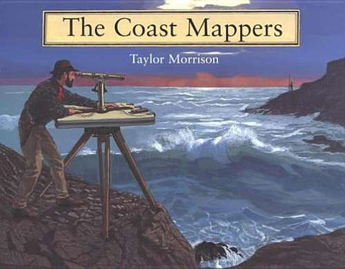
- In the mid-nineteenth century, little was known of the west coast and waterways. The ships that sailed those waters did so at a considerable risk, sometimes depending on only a school atlas to navigate and all too often crashing into the rocks. So the U. S. Coast Survey, whose purpose was to map every mile of American shoreline, commissioned George Davidson to chart all of the major points on the coast and all of the waterways in between. In this beautifully illustrated book, Taylor Morrison chronicles the challenges and adventures Davidson and his team faced and the methods they used to accomplish this monumental, and essential, task.
- Copyright:
- 2004
Book Details
- Book Quality:
- Publisher Quality
- ISBN-13:
- 9780547345840
- Publisher:
- Houghton Mifflin Harcourt (www.hmhco.com)
- Date of Addition:
- 03/29/12
- Copyrighted By:
- Taylor Morrison
- Adult content:
- No
- Language:
- English
- Has Image Descriptions:
- No
- Categories:
- History, Children's Books, Nonfiction
- Submitted By:
- Bookshare Staff
- Usage Restrictions:
- This is a copyrighted book.