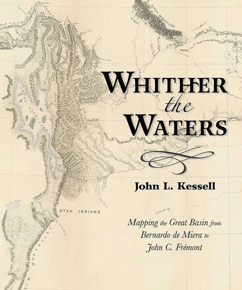
Whither the Waters: Mapping the Great Basin from Bernardo de Miera to John C. Frémont
By:
Sign Up Now!
Already a Member? Log In
You must be logged into Bookshare to access this title.
Learn about membership options,
or view our freely available titles.
- Synopsis
- Bernardo de Miera y Pacheco (1713–1785) is remembered today not only as colonial New Mexico&’s preeminent religious artist, but also as the cartographer who drew some of the most important early maps of the American West. His &“Plano Geographico&” of the Colorado Plateau and Great Basin, revised by his hand in 1778, influenced other mapmakers for almost a century. This book places the man and the map in historical context, reminding readers of the enduring significance of Miera y Pacheco. Later Spanish cartographers, as well as Baron Alexander von Humboldt, Captain Zebulon Montgomery Pike, and Henry Schenck Tanner, projected or expanded upon the Santa Fe cartographer&’s imagery. By so doing, they perpetuated Miera y Pacheco&’s most notable hydrographic misinterpretations. Not until almost seventy years after Miera did John Charles Frémont take the field and see for himself whither the waters ran and whither they didn&’t.
- Copyright:
- 2017
Book Details
- Book Quality:
- Publisher Quality
- Book Size:
- 120 Pages
- ISBN-13:
- 9780826358240
- Related ISBNs:
- 9780826358233
- Publisher:
- University of New Mexico Press
- Date of Addition:
- 07/02/25
- Copyrighted By:
- the University of New Mexico Press
- Adult content:
- No
- Language:
- English
- Has Image Descriptions:
- No
- Categories:
- History, Nonfiction
- Submitted By:
- Bookshare Staff
- Usage Restrictions:
- This is a copyrighted book.
