Early Modern Nautical Charts of the Adriatic Sea: Information Sources, Navigation Tools, and Communication Media
By: and
Sign Up Now!
Already a Member? Log In
You must be logged into Bookshare to access this title.
Learn about membership options,
or view our freely available titles.
- Synopsis
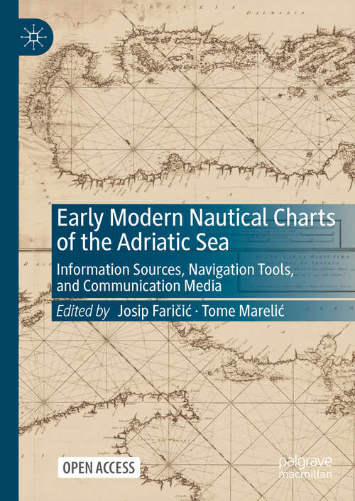
- This Open Access book provides a comprehensive and multi-layered understanding of the development of Adriatic Sea nautical cartography from its beginnings in the late Middle Ages to the implementation of geodetic and hydrographic surveys in the early nineteenth century. During the early modern period, the importance of nautical charts exceeded mere navigational purpose as they also became a medium for conveying an extensive array of socioeconomic information and messages. The authors examine how the geographical characteristics and social elements of the Adriatic Sea and its surroundings were observed, understood, and cartographically represented in accordance with contemporary scientific, technological, socioeconomic, cultural, or political frameworks using various phenomenological viewpoints and methodological techniques. Since the Adriatic Sea has historically functioned as a smaller-scale version of the Mediterranean, its contents transcend its geographical boundaries and are also broadly applicable to other Mediterranean regions.
- Copyright:
- 2025
Book Details
- Book Quality:
- Publisher Quality
- ISBN-13:
- 9789819680467
- Related ISBNs:
- 9789819680450
- Publisher:
- Springer Nature Singapore
- Date of Addition:
- 08/13/25
- Copyrighted By:
- The Editor
- Adult content:
- No
- Language:
- English
- Has Image Descriptions:
- No
- Categories:
- History, Nonfiction, Technology, Social Studies, Earth Sciences
- Submitted By:
- Bookshare Staff
- Usage Restrictions:
- This is a copyrighted book.
- Edited by:
- Josip Faričić
- Edited by:
- Tome Marelić
Reviews
Other Books
- by Josip Faričić
- by Tome Marelić
- in History
- in Nonfiction
- in Technology
- in Social Studies
- in Earth Sciences
