Maps, Annotated: The World's 300 Greatest Maps Explained
By:
Sign Up Now!
Already a Member? Log In
You must be logged into Bookshare to access this title.
Learn about membership options,
or view our freely available titles.
- Synopsis
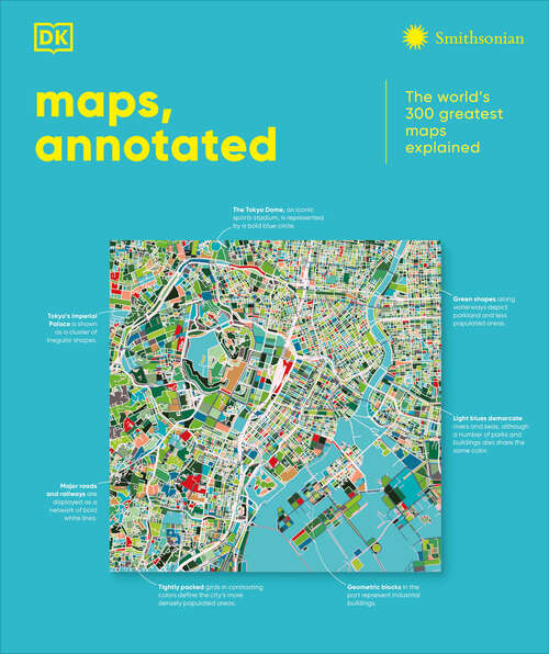
- This fascinating history of cartography includes more than 300 maps, from the ancient world to the present day.Combining stunning reproductions with clear annotations and pull-out details, it is an expertly curated selection of the finest examples ever created.Delve into Maps, Annotated and find out how the Polynesians used sticks to chart their way across the Pacific, what a meridian is, and where dragons were said to lurk. Discover ancient Chinese star maps, decipher medieval Mappa Mundi, and find out how the world is split into time zones. Organized chronologically, the book features maps from all over the world, explaining key elements such as compasses, scales, symbols, and geographic features. Each map is also set in historical context, making Maps, Annotated a complete overview of the history of cartography.From Babylonian world maps to the Aztec map of Tenochtitlán and the Gaia map of the Milky Way, immerse yourself in the most intriguing maps ever created. Comprehensive and lavishly illustrated, Maps, Annotated is a must for all armchair explorers.
- Copyright:
- 2025
Book Details
- Book Quality:
- Publisher Quality
- Book Size:
- 480 Pages
- ISBN-13:
- 9798217136414
- Related ISBNs:
- 9798217126316
- Publisher:
- DK
- Date of Addition:
- 10/21/25
- Copyrighted By:
- Dorling Kindersley Limited
- Adult content:
- No
- Language:
- English
- Has Image Descriptions:
- No
- Categories:
- History, Nonfiction, Reference, Technology, Earth Sciences
- Submitted By:
- Bookshare Staff
- Usage Restrictions:
- This is a copyrighted book.
Reviews
Other Books
- by DK
- in History
- in Nonfiction
- in Reference
- in Technology
- in Earth Sciences